Waterholes and Rock Art: The Part of Uluṟu Most People Walk Past
The waterholes are the reason the rock was a place people lived rather than a landmark people visited. They sit at the base, they are mostly shaded, and they are the part of the park where interpretation actually changes what you are looking at.
Why there is water here at all
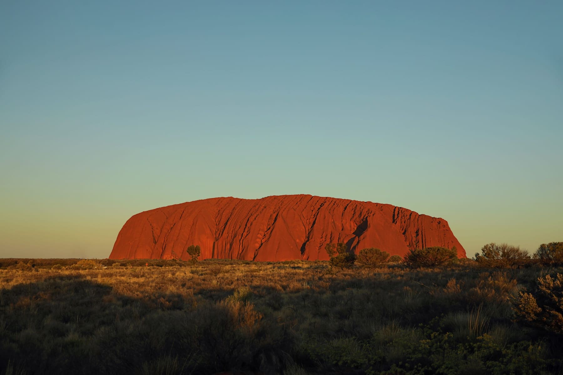
Uluṟu is not a boulder sitting on a plain. It is the exposed top of a bed of arkose that continues underground, and the runoff from its own flanks collects in depressions at the base. Those depressions hold water for long periods after rain, which is why the rock supported people in a landscape where surface water is otherwise scarce.
That is the fact that reorganises the walk. Once you know the waterholes are the reason for everything else — the shelters, the art, the paths that predate the walking track — the circuit stops being a lap around a monolith and becomes a walk through the places people actually used.
Kapi Mutitjulu and the Kuniya walk
The best-known waterhole sits at the end of the Kuniya walk, about 1 km from the carpark on a flat track that most visitors can manage comfortably. The pool is shaded for much of the day, which makes it one of the few genuinely cool places at the base, and it is the reason this short walk is worth more time than its distance suggests.
The art here is not decoration and it is not a signpost. Some of it is recent, some is not, and the park's interpretation panels explain the parts that are appropriate to explain. Where a panel does not explain something, that is a decision rather than an omission.
The Mala walk covers the stretch from the carpark toward Kuniya and takes in the art shelters on the way, at roughly 2 km for the section. Walking it early is not only about heat: the shelters are on the shaded side in the morning, and the interpretation panels are legible without squinting into the sun.
The sites you will not be shown
Not all of the rock's cultural sites are open, and the ones that are closed are not advertised with an explanation of what is there. This is deliberate. Aṉangu have asked that certain places not be visited or photographed, and the park enforces that by directing visitors along marked tracks rather than by fencing each site.
The practical rule is simple and covers all of it: if a track does not go somewhere, do not go there. That includes short detours for photographs, which is the most common way visitors end up somewhere they should not be.
The afternoon problem
Waterholes and art shelters reward a slow visit, and a slow visit takes time that most itineraries do not have. The usual shape — sunrise at a viewing area, base walk in the middle of the day — puts the shaded parts of the rock at exactly the hour when the shade has gone.
The better shape, if you have a full day, is to do the waterholes early, retreat during the hottest hours, and return for the late light. The Cultural Centre fills the middle of the day and is the only place in the park with food, which makes it the natural base for the gap. If you are doing the Centre as part of a longer run, the Darwin run south in a campervan arrives from the opposite direction and puts the rock at the end of the trip, which usually means more time here rather than less.
Coming up from South Australia instead, campervan pickup in Adelaide before the Stuart Highway means the Centre is a destination rather than a waypoint, and the two-night stay that the waterholes need is easier to justify at the end of a long drive than in the middle of one.
The waterholes are the reason to walk the base rather than drive to a viewpoint and leave. They are also the part of the park most easily missed, because they are at ground level and the rock above them is what everyone photographs.
Questions people ask
Where are the waterholes at Uluṟu?
Along the base of the rock, mostly on the shaded southern side. The best-known is at the end of the Kuniya walk, about 1 km from the carpark on a flat track.
Can you swim in the waterholes?
No. They are cultural sites and they are not for swimming. The park asks visitors to stay on the marked track and not to enter the water.
Can you photograph the rock art?
Some of it, from the track. Where the park asks visitors not to photograph a site, that request is marked and should be followed. Do not touch the art or climb onto ledges for a better angle.
How long does the Kuniya walk take?
It is about 1 km from the carpark on flat, formed track. Most people spend considerably longer at the waterhole than the walking time suggests.
Where this came from
Distances, surfaces, permit rules and park hours change. Check the authority above before you rely on any of it for a specific date.