465 Kilometres: What the Alice Springs to Uluṟu Drive Actually Costs You
465 km, about five and a half hours. That is the answer, and it is also where the useful information stops, because the drive is not hard and it is still the part of the trip people underestimate.
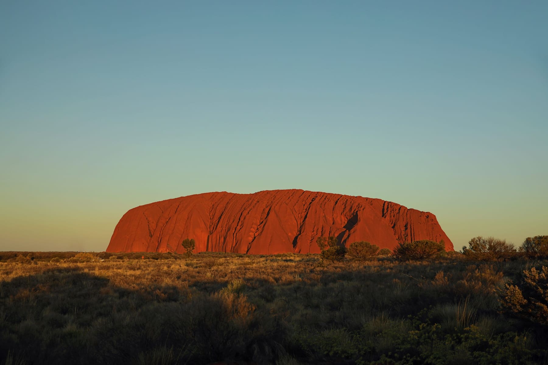
The number, and the numbers that disagree
Parks Australia gives the Alice Springs to Uluṟu distance as 465 km and about five and a half hours. Older signage along the route gives 443. Both are in circulation, and visitors occasionally write in to say one of them is wrong.
One figure that does not belong in this comparison: 450 km is the distance from Alice Springs to Watarrka, which is a different destination in a different direction. It turns up in searches for the Uluṟu drive because both are 'about 450-odd km from Alice', and using it here would tell you the two authorities disagree about Uluṟu when they do not.
What the drive is actually like
The Stuart Highway south of Alice Springs is straight, sealed and fast in the legal sense, with long sightlines and very little traffic. It is not a difficult road. It is a road that makes people tired, because the country is uniform and the speed is constant and there is nothing to reset your attention.
The turn-off at Erldunda onto the Lasseter Highway is the halfway point in time and rather less in distance. After it the character changes: still sealed, but the road is narrower, the roadhouses are further apart, and the country opens out into the sandplain that surrounds the rock.
Where the fuel actually is
Fuel is available — this is not a drive where you carry jerry cans — but the stations are spaced for the highway rather than for comfort. Alice Springs, Erldunda, Curtin Springs and Yulara are the reliable points on this route, and Curtin Springs is a working cattle station rather than a town, which is worth knowing if you are expecting services.
The practical rule is to fill at Erldunda whether or not you think you need it. The gap between there and Yulara is the longest stretch without a town, and the fuel you save by skipping it is not worth the attention it costs you for the next two hours.
Why it feels longer than 465 km
Two reasons. The first is that the distance is mostly featureless, and featureless roads distort time. The second is that the drive is bracketed by things you want to do: you leave Alice Springs with the trip ahead and arrive at Yulara with a sunset to catch, and both ends compress the middle.
The fix is to treat the drive as part of the trip rather than as transit. Stop at Curtin Springs. Stop at the lookout before the park boundary. The drive stops being a chore the moment it stops being a means to an end, and the Centre does not offer much else to look at if you refuse to look at it.
The alternative approaches
Alice Springs is the shortest approach and not the only one. From the south, the Stuart Highway brings you up from Adelaide over roughly two days. From the north, Darwin is a long run down through Tennant Creek. Both are sealed and both put the Centre at a different point in the trip.
If you are starting here, Alice Springs campervan hire at the start of the drive is the obvious arrangement, with one caveat worth stating: build the trip so that it still works if this is not where you collect the vehicle. Coming from the south with Adelaide with a campervan behind you is the same drive approached from the other end, and it does not depend on a single depot being open.
It is 465 km, it is sealed, and it is not difficult. Treat it as the first day of the trip rather than the price of getting there, and the arithmetic stops mattering so much.
Questions people ask
How far is Uluṟu from Alice Springs?
465 km by road, which Parks Australia puts at about five and a half hours. Older signage shows 443. We use the Parks Australia figure and note the variance rather than correcting the signs.
Is the drive sealed the whole way?
Yes. The Stuart Highway south to Erldunda and the Lasseter Highway west to Yulara are both sealed, and so is every road inside the national park. A two-wheel-drive is fine.
Where do you fuel up?
Alice Springs, Erldunda, Curtin Springs and Yulara are the reliable stops. Fill at Erldunda even if you think you do not need to: the stretch beyond it is the longest without a town.
Can you do it in one day?
Yes, and most people do. It is about five and a half hours of driving, which leaves time for stops. It is a tiring drive rather than a difficult one, because the country is uniform.
Where this came from
- Parks Australia — getting here
- Parks Australia — distances and travel times
- NT Government — Watarrka National Park
Distances, surfaces, permit rules and park hours change. Check the authority above before you rely on any of it for a specific date.