Explore Uluṟu and
the Red Centre.
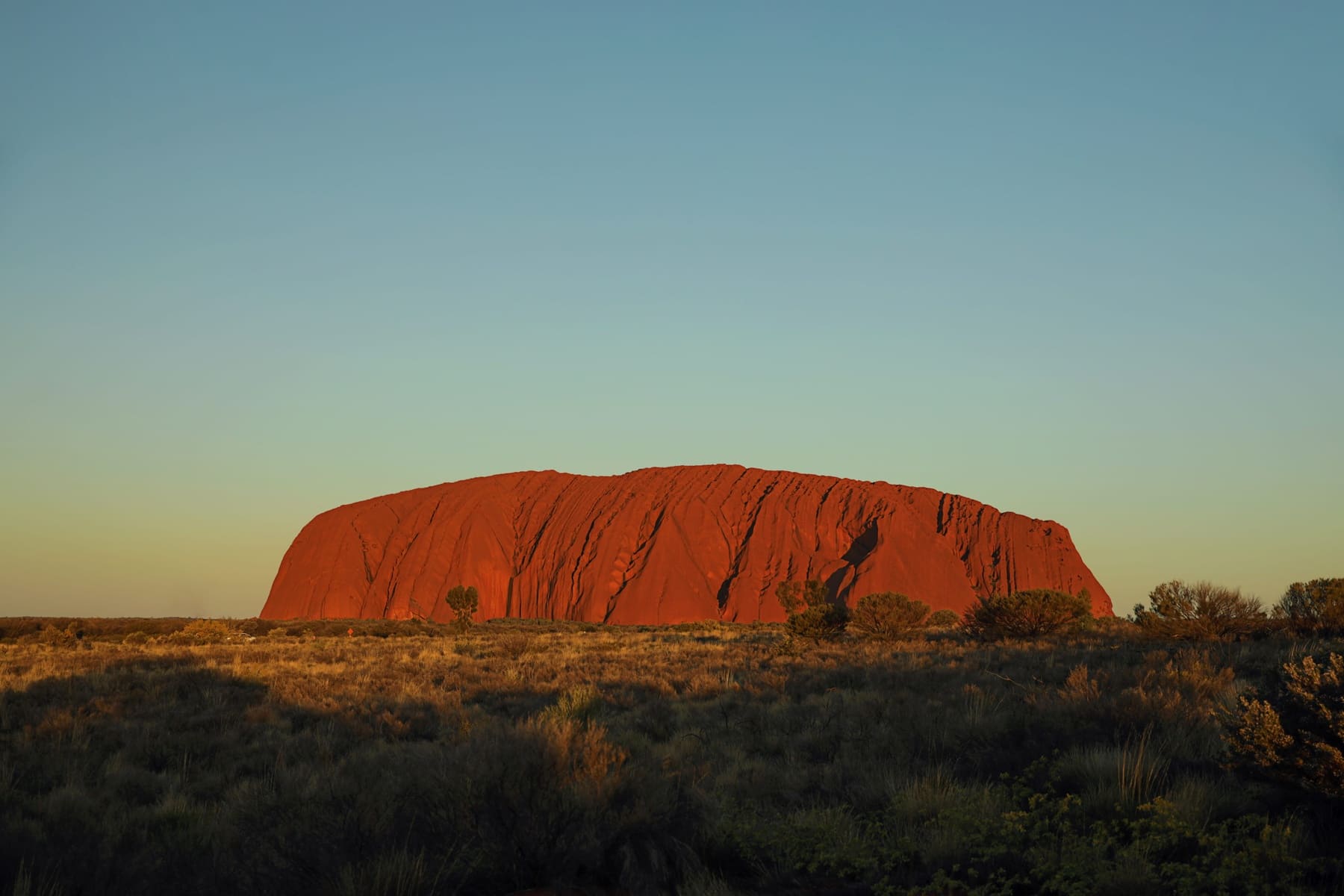
This is a practical guide to Uluṟu, Kata Tjuṯa, Kings Canyon and the ranges between them — the driving, the seasons, the permits, and the parts worth slowing down for.
The drive, one road change at a time
Four ways in, two of them sealed
Sealed Unsealed, permit needed Road and park status changes with weather. Check the NT road report and the park access report before any outback leg.
Start with these
All 21 guides-
The Uluṟu Base Walk: What 10.6 Kilometres Actually Involves
A section-by-section account of the full circuit: where the water, shade, rock-art shelters and toilets are, and when to start.
-
Five Places to Watch the Rock Change Colour
The five official viewing areas, what each one is actually for, and why the sunset car park rule catches people out.
-
Valley of the Winds: The Walk, the Cut-off, and Who Should Skip It
7.4 km, Grade 4, and a section that closes at 11am on hot days. How to judge whether it is for you.
-
The Kings Canyon Rim Walk, Honestly
What the 6 km rim actually involves, the heat rule that closes it in the morning, and who should take the creek walk instead.
-
The Uluṟu Park Pass: What It Covers, and What It Does Not
One pass, three products, and an exclusion that catches visitors. Coverage and the purchase mechanism, with the charge left to the authority.
-
The Red Centre Way in a 2WD: Yes, Really
The 1,135 km loop, split into days that work, with the one leg that is not sealed on the classic version.
The shape of the Red Centre
Every route, drawnWhen to come, in four windows
Full seasonal guideParks Australia puts the best window at May to September, when maximums sit between 20 °C and 30 °C. Everything outside that is a trade, and the trade is legible.
May – September
The window
Daytime 20–30 °C, little rain, wildflowers in August and September. Nights get genuinely cold, so pack for it.
October – November
Heat builds
Regularly above 35 °C. Walks want to start before dawn. Watarrka restricts access to some tracks in this period.
December – March
Storm season
Hottest and wettest. Waterfalls run on Uluṟu and the waterholes fill — spectacular, and the least forgiving for walking.
April
The shoulder
Heat easing, country still green from summer rain, fewer people. Often the quietest good month of the year.
This is someone's country, not a backdrop
Uluṟu-Kata Tjuṯa is jointly managed by Aṉangu Traditional Owners and Parks Australia, and has been since the park was handed back in 1985. Kata Tjuṯa is an Aṉangu men's site, sacred under Tjukurpa. The park asks every visitor to stay on marked tracks — that request is the whole of the rule, and it is not a suggestion.
The climb closed permanently on 26 October 2019. Climbing now breaches the EPBC Act, which is a different thing from a sign asking you not to. The base walk is 10.6 km and it is the better walk anyway.
We do not retell creation stories here. Where a story belongs to Aṉangu, we point you to the Cultural Centre and to ranger-guided walks, and leave the telling to the people it belongs to.
Getting there usually means a vehicle
Yulara has an airport, but rental cars there are limited and book out weeks ahead. Most people drive in, and where you start decides what you drive. Adelaide is the natural southern approach up the Stuart Highway; Darwin brings you down from the north; Perth is the long way round through the western desert. The unsealed routes — the Mereenie Loop, the Great Central Road west — are the only places a 4WD actually earns its price.