Is the Road Open? Three Registers, Three Answers
"Is the road open" has no single answer, because there is no single register. Three different systems publish three different statuses, and a road can be open on one and closed on another without either being wrong.
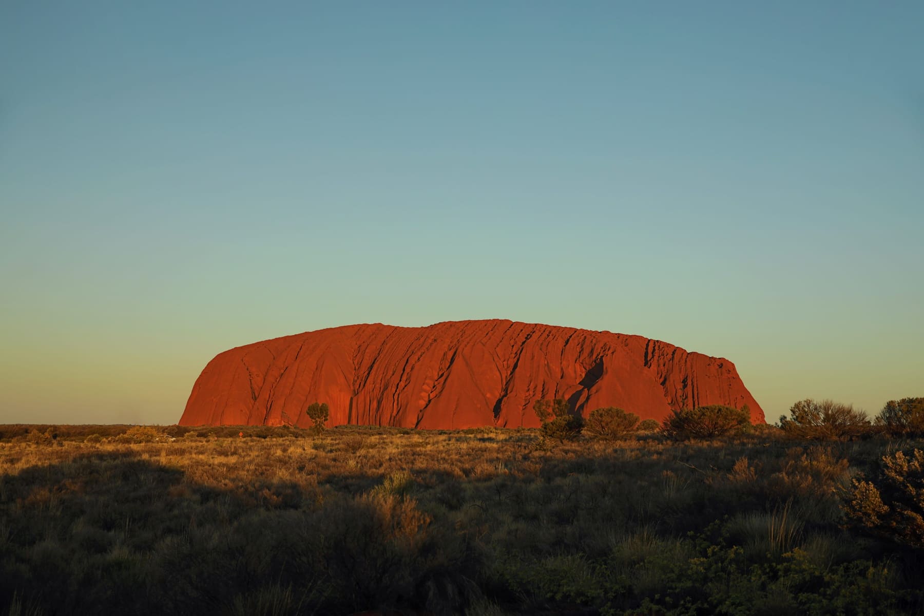
Why one check is not enough
The instinct is to check one site and trust the answer. The problem is that a road passing through a national park can be legally open and practically unusable at the same time, because the highway authority manages the road and the park manages access to the land it crosses.
A closure can come from any of the three, and the one you did not check is the one that stops you. That is the whole reason this page exists.
Register 1: highway status
Sealed highways — the Stuart, the Lasseter, Luritja Road, Namatjira Drive — are managed by the Northern Territory and reported through the NT road report. This is the register people check, and for sealed roads it is usually the complete answer: closures here are rare and significant when they happen.
The limitation is that a sealed highway being open says nothing about the unsealed roads it connects to, and nothing about whether the park at the end of it is admitting visitors.
Register 2: unsealed roads
Unsealed roads close after rain, and reopening is not automatic — it happens when someone assesses the surface, which means a road can stay closed for days after the weather has cleared. The Mereenie Loop and the Great Central Road are the two that matter on a Red Centre trip, and both can be shut while every sealed road around them is fine.
Register 3: park closures
Parks close for reasons that have nothing to do with roads: heat, cultural reasons, fire risk, or management operations. These appear on the park's own alerts page and not on the road report, which is why someone can drive an open highway to a park gate that is shut.
Both park systems publish alerts — Parks Australia for Uluṟu-Kata Tjuṯa, NT Parks for Watarrka and the ranges. They are separate pages and neither aggregates the other.
| Question | Register to check |
|---|---|
| Is the Stuart Highway open? | NT road report |
| Is the Mereenie Loop passable? | NT road report and Tourism Central Australia |
| Is the Rim Walk open today? | NT Parks alerts |
| Is the base walk closed for heat? | Parks Australia access and alerts |
| Is the Great Central Road crossable? | NT and WA road reports, plus the permit bodies |
The habit that actually works
Check all three the evening before and again in the morning, because conditions here change faster than any page updates. Build the itinerary with an alternative for each unsealed leg, so that a closure costs you a detour rather than a day.
And keep the confirmations offline. Coverage between towns is patchy in exactly the places where you will want to re-check, and a page you cannot load is not a status.
Planning around closures rather than hoping
The trips that survive closures are the ones with slack in them. A a campervan driven east from Perth crossing the Great Central Road has no slack at all — the permit window is fixed and the road either works or the trip does not. A a campervan hired in Darwin for the wet season approach has more, because the Stuart is sealed and closures there are rare, so the wet season affects what you do at the end rather than whether you arrive.
Check all three registers, keep the answers offline, and build one alternative into every unsealed leg. That is the whole discipline, and it is what separates a trip that absorbs a closure from one that ends because of it.
Questions people ask
How do I check if the road to Uluṟu is open?
The Stuart and Lasseter highways are reported on the NT road report. For park access itself, check the Parks Australia access and alerts page, which covers closures that have nothing to do with road condition.
Why is a road still closed when it has stopped raining?
Unsealed roads here are assessed after rain rather than reopened by it. A closed road under blue sky is normal, and reopening can take days depending on when someone inspects the surface.
Does a park closure appear on the road report?
No. Park closures are published on the park's own alerts page. Both systems are separate, and the one you did not check is the one that stops you.
Can the Mereenie Loop be closed while other roads are open?
Yes. It is unsealed, so it closes after rain independently of the sealed highways around it. Check it separately rather than inferring from the Stuart.
Where this came from
Distances, surfaces, permit rules and park hours change. Check the authority above before you rely on any of it for a specific date.