Home/ Kata Tjuṯa/ Kata Tjuṯa
What You Can Photograph at Kata Tjuṯa, and What You Should Not
The rules at Kata Tjuṯa are narrower than most visitors expect and less mysterious than the way they are usually described. What follows is what the park actually asks, without inventing reasons it has not given.
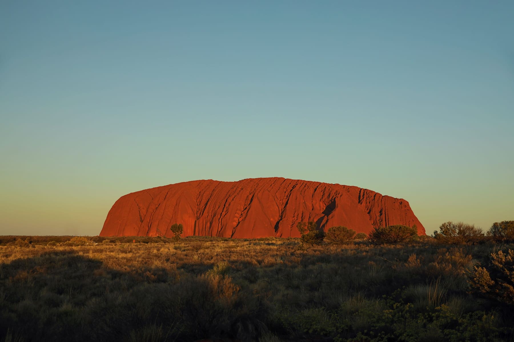
The short version
Photograph the landscape, the domes from the track, and anything the park has signed as photographable. Do not photograph where a sign asks you not to, do not fly a drone, and do not leave the marked track to get a better composition. That is the whole of it.
The reason the rules feel vague is that the park does not publish a list of which specific formations are restricted, because publishing it would itself disclose information Aṉangu have asked to keep. Visitors are asked to follow the signs rather than to understand the full map.
Why there are restrictions at all
Kata Tjuṯa is an Aṉangu men's site, and the park states that plainly. Certain places within it carry restrictions that relate to that status. The park's own material says this much and no more, and a travel guide that fills in the rest is guessing.
The light, and when to come
From a purely photographic point of view, the domes are best in the hour after sunrise and the hour before sunset, when the low angle picks out the conglomerate texture. The middle of the day flattens them, which is why the walks and the photography want the same early window.
That creates a conflict worth planning around: the Valley of the Winds walk is a morning activity in the warmer months because of the 11am cut-off past Karu, and it is also the best morning light. Doing the walk and photographing it are the same trip, and neither works at 2pm.
Practical setup
- A wide lens earns its place here; the domes are close together and a long lens compresses them into mush.
- Bring more water than the camera bag suggests. There is no shade on the valley floor.
- A tripod is useful for the low-light ends of the day but is dead weight for the circuit, which is rough underfoot.
- Do not plan to change lenses in the valley: the dust is fine and gets everywhere.
If photography is the reason for the trip, the practical base is Yulara — outside the park, about 40 km from this carpark. A campervan booked out of Brisbane and driven inland gives you the flexibility to sit out a flat-light day, which is the thing fixed-itinerary travel cannot do, and reserving a campervan rather than a room means the waiting costs you nothing but time.
Publishing your photographs
The park's restrictions apply to publication as well as to capture. Images of restricted sites do not become permissible because they were taken from a distance or by accident. If you are unsure whether an image shows a restricted area, the safe course is not to publish it, and the park is the body to ask rather than a forum.
Questions people ask
Can you photograph Kata Tjuṯa?
Yes, from the marked track and where the park has not signed a restriction. Where signage asks visitors not to photograph, that applies to publication as well as capture.
Can you fly a drone at Uluṟu or Kata Tjuṯa?
No. Drones are not permitted in the park, which includes both Uluṟu and Kata Tjuṯa. This is a park rule regardless of what your drone's own software permits.
Why will rangers not explain the restrictions?
Because explaining them would disclose information Aṉangu have asked to keep private. The park asks visitors to follow the signage rather than to understand the full map of restricted sites.
What is the best time of day to photograph the domes?
Shortly after sunrise and shortly before sunset, when the low angle shows the rock texture. The middle of the day flattens the domes and coincides with the heat restrictions on walking.
Where this came from
- Parks Australia — Kata Tjuṯa walks
- Parks Australia — park management
- Parks Australia — access and alerts
Distances, surfaces, permit rules and park hours change. Check the authority above before you rely on any of it for a specific date.