The Uluṟu Base Walk: What 10.6 Kilometres Actually Involves
The circuit is 10.6 km and Parks Australia gives it three and a half hours. Most people should not do it in one push, and the reason is not fitness — it is that the rock has distinct sections and the walk rewards stopping between them.
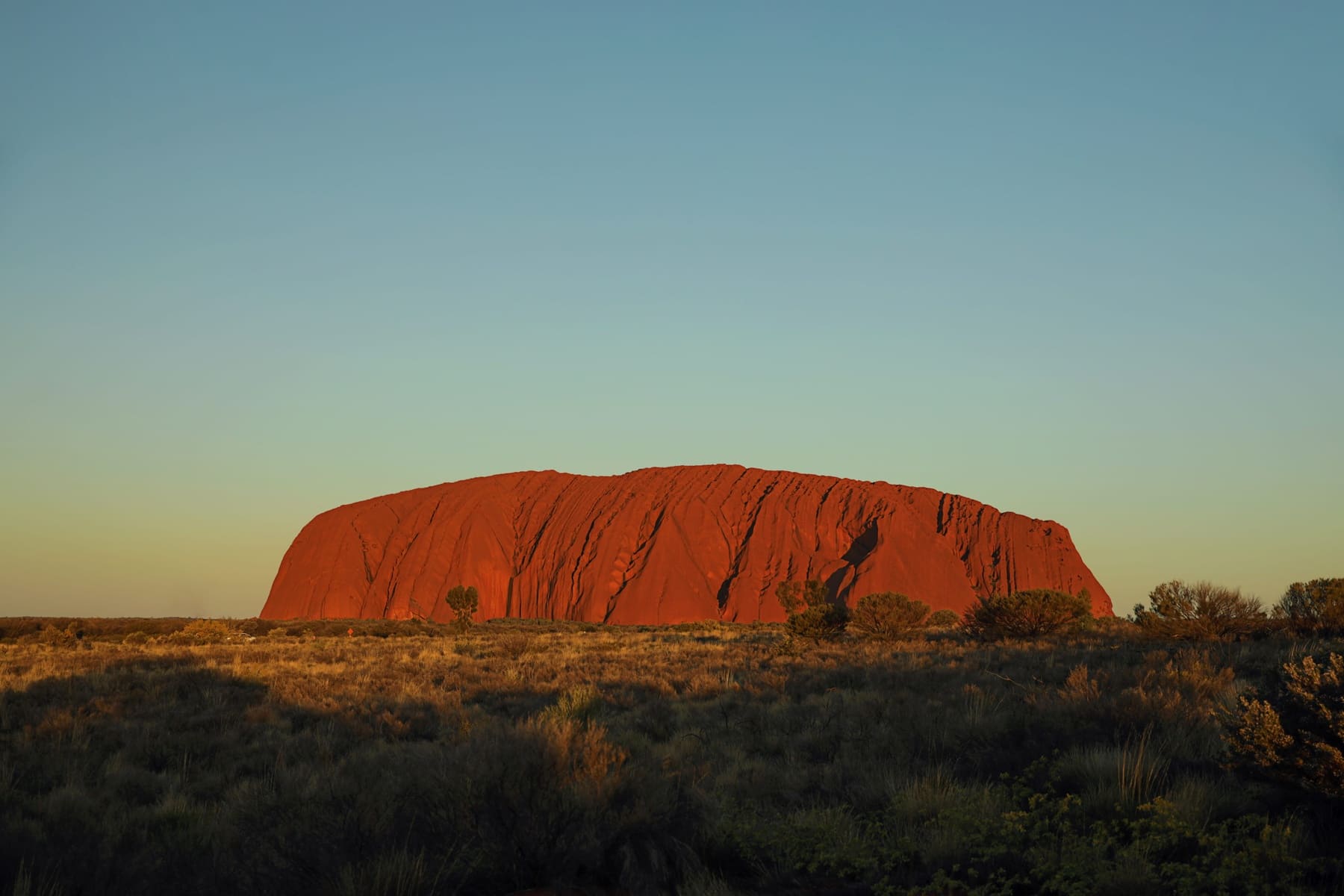
The full circuit is the wrong default
A 10.6 km flat walk sounds like an easy morning. It usually is not, and the reason has nothing to do with gradient. There is no shade on most of it, the surface radiates heat from mid-morning, and the middle third is the part where people who started late begin to make decisions they regret.
Parks Australia gives the walk three and a half hours. That is a walking pace for someone who does not stop. Add the time you will actually spend at the waterholes, the art shelters and the two lookouts, and a realistic figure is closer to five hours — which is a different kind of day, and should be planned as one.
What the five sections are
The loop runs clockwise from the Mala carpark, and it breaks naturally into five parts. Knowing them is the difference between a route march and a walk, because each one has something worth stopping for and the stopping is the point.
| Section | Approximate length | What it is for |
|---|---|---|
| Mala to Kuniya | about 2 km | The art shelters and the climb that is now closed |
| Kuniya to the north-east face | about 4.4 km | The longest exposed stretch; the waterhole and the gorge |
| North-east face | about 1 km | Shade in the morning, and the best light on the fluting |
| Talinguṟu | about 1.5 km | A short detour many people walk past |
| Back to Mala | about 2 km | Open ground, no shade, the hottest finish |
If you started this drive by collecting a campervan in Adelaide, you have already spent a full day on the Stuart Highway before you reach the carpark. That matters here more than it does on a shorter walk: the circuit opens with the section most people find most interesting, and arriving tired means spending your best hour of attention on the part you least need it for.
Water, shade, and where the toilets are
There is no water on the track. None. The carpark has a tap and there is a toilet at the Mala end, and those are the facilities for the entire circuit. Carry more than you think, and carry it in a way you can drink from without stopping — a bottle in a backpack is a bottle you will not open.
When to start, and the heat arithmetic
Start at first light. Not because it is prettier — though it is — but because the arithmetic works: a five-hour walk begun at 06.30 finishes before the worst of the afternoon, and one begun at 09.00 does not. Parks Australia's own guidance on heat is explicit that walking should be avoided in the middle of hot days, and the base walk has the least shade of any walk in the park.
There is a separate rule worth knowing, because it is easy to conflate with the one at Kings Canyon. At Uluṟu, when the forecast reaches 40 °C, the Lungkaṯa section closes from 2pm and the north-east face from 11am. That is a different number and a different mechanism from Watarrka's 36 °C rule, which governs start times on the rim walk. If you are planning both parks in one trip, keep the two figures apart.
Who should do the shorter version
The base walk is not compulsory, and there is no prize for the full loop. Two shorter options cover the parts most visitors actually came for: the Mala walk to Kuniya, which is roughly 2 km and includes the art shelters and the waterhole, and the Kuniya walk on its own at about 1 km from the carpark. Neither requires the exposed middle section, and both can be done comfortably in the morning.
For anyone travelling with children, or in the warmer months, or simply not interested in a half-day of flat walking, the shorter version is the better trip. The rock does not read differently at kilometre eight.
What to carry
- Two litres of water per person minimum, more in the warmer months.
- A hat with a brim and a shirt that covers the shoulders — sunburn here happens fast and quietly.
- Footwear with grip. The surface is flat but it is also rock, and rock polishes.
- Nothing you are not willing to carry out. Bins are not provided around the circuit.
If you are doing this at the end of a long northbound run, the practical question is where the vehicle is parked and how far you then have to drive. Most people stay at Yulara, which is outside the park boundary and about a ten-minute drive from the Mala carpark. Some come in from further out and drive back the same evening; a campervan hire out of Melbourne booked as a one-way still leaves you the return leg, so it is worth deciding which end of the trip the rock sits at before you fix the dates.
None of this is complicated. Walk early, carry water, stop at the waterholes, and take the shorter version if the day is going to be hot. The circuit has been walked for a very long time by people who understood what it was for; the least a visitor can do is give it a morning.
Questions people ask
How long does the Uluṟu base walk take?
Parks Australia allows three and a half hours at walking pace. With stops at the waterholes, art shelters and lookouts, most people take four to five hours. Start early enough that the extra time is available.
Is the base walk flat?
Yes. The circuit is flat and the surface is formed the whole way, so the difficulty comes from distance and heat rather than gradient. There is very little shade.
Can you do the base walk in a wheelchair?
The circuit as a whole is not presented as an accessible walk. For genuinely wheelchair-accessible walking in the Red Centre, Kathleen Springs near Kings Canyon is the one the parks publish as accessible, and it is a different trip.
Is there water on the track?
No. There is a tap at the carpark and a toilet at the Mala end, and nothing in between. Carry what you need for the whole circuit.
Where this came from
- Parks Australia — Uluṟu base walk
- Parks Australia — walks overview
- Parks Australia — access and alerts
Distances, surfaces, permit rules and park hours change. Check the authority above before you rely on any of it for a specific date.