The Climb Closed in 2019. People Still Ask.
Every few months a travel forum rediscovers the climbing route and asks whether it has reopened. It has not, it will not, and the answer is now a matter of law rather than of park policy — which changes what a visitor should do with the information.
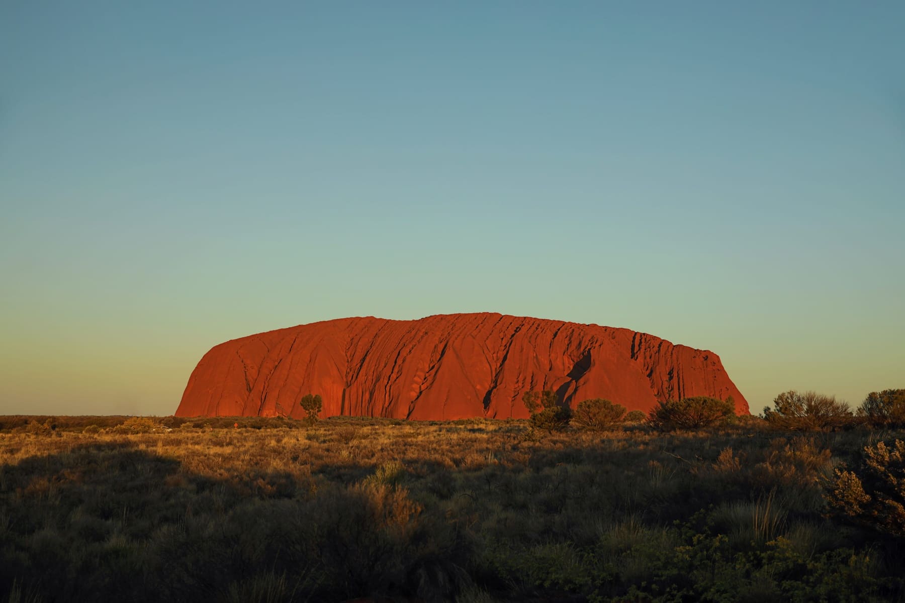
What actually happened in 2019
The climb closed on 26 October 2019, on the anniversary of the park being handed back to its Traditional Owners. The decision was not taken by a tourism authority or a minister acting alone: Uluṟu-Kata Tjuṯa is managed by a board with a majority of Aṉangu members, and the closure was their decision, reached after decades of asking visitors not to climb.
The proximate reason given at the time was cultural. The route crosses a path associated with Mala, and Aṉangu had asked visitors not to use it for most of the park's existence. The secondary reasons were safety and environmental: people had died on the route, and the wear on the face was visible.
It is now an offence, not a request
This is the part that people who last read about the park in 2018 do not know. Climbing is prohibited under the Environment Protection and Biodiversity Conservation Act, which makes it a legal offence rather than a breach of etiquette. The distinction matters because it changes the nature of the advice: this is not a case where a visitor can decide the rule does not apply to them and expect a telling-off.
What to do instead, honestly
The base walk is the direct replacement and it is a better walk. It is 10.6 km, flat, and it takes you past the waterholes and art shelters that the climb route bypassed entirely — the things the park actually wants visitors to see. Parks Australia allows three and a half hours; most people take longer because they stop.
If 10.6 km is not the plan, the Mala walk to Kuniya covers roughly 2 km and includes the art shelters and the waterhole, and the Kuniya walk alone is about 1 km from the carpark. Between them they cover most of what people are actually looking for when they ask about climbing: proximity to the rock, and a sense of its scale.
The question behind the question
When someone asks whether the climb has reopened, they are usually asking one of two things. Sometimes it is logistical — they have an old guidebook and want to know if the plan still works. More often it is about whether the view from the top is available some other way, and the honest answer is that it is not, and that the view from the top was never the reason the place matters.
The park's own framing is that visitors who understand the cultural context stop asking. That is why the Cultural Centre exists, and why the ranger-guided walks are worth the hour: they explain what the rock is in Aṉangu terms, which is a different account from the geological one and does not replace it.
Getting there and back
The closure has changed itineraries in one practical way: without the climb, the rock takes a morning rather than a day, and people reallocate the time to Kata Tjuṯa or Kings Canyon. That reallocation is not a downgrade — the Valley of the Winds is a harder and more rewarding walk than the climb ever was, and Watarrka is a genuinely different landscape.
If your trip is built around one-way travel, one-way campervan rentals ending in Darwin makes the northbound version straightforward, and the extra day that the closure frees up is best spent at Kata Tjuṯa rather than added to the drive. Coming from Queensland instead, picking a campervan up in Brisbane puts you on a long inland run where the Centre is the middle of the trip, not the end, which changes how much time you can give it.
The closure is settled, the base walk is better than the route it replaced, and the questions that remain are about the place rather than about access to the top.
Questions people ask
Can you still climb Uluṟu?
No. The climb closed permanently on 26 October 2019. Climbing is now prohibited under the Environment Protection and Biodiversity Conservation Act, so it is a legal offence rather than a park rule.
Why was the climb closed?
The decision was made by the park's board, on which Aṉangu Traditional Owners hold a majority. Cultural reasons were primary; safety and wear on the rock were also cited.
Is there any way to get to the top?
No. There is no permit, no guided option and no exception. Any operator offering a climb is not doing so lawfully.
What is the best replacement walk?
The 10.6 km base walk, which passes the waterholes and art shelters. For a shorter version, the Mala walk to Kuniya is roughly 2 km and the Kuniya walk about 1 km.
Where this came from
- Parks Australia — Uluṟu base walk
- Parks Australia — park management
- Parks Australia — access and alerts
Distances, surfaces, permit rules and park hours change. Check the authority above before you rely on any of it for a specific date.